Step back in time to a world before motorways or even A roads and find out how Britain was connected in medieval times during the next in a series of free Bridge Chapel Lectures.
Historian Dr David Harrison will introduce a road map of England and Wales in the late Middle Ages, introducing the key destinations they linked during the years 1450-1500. He will also share accounts from contemporary travellers and look at itineraries, maps and surviving bridges.
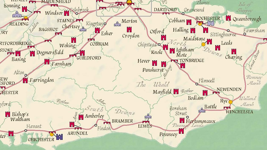
Alison Cable, Archives Manager at the Rochester Bridge Trust which is hosting the lecture, said: “Rochester Bridge is located on the ancient roadway that we now know as the A2, connecting London to the Kent coast. This makes it a part of the medieval network Dr Harrison will be introducing us to and we are looking forward to hearing more about the historic network of roads that our bridge is connected with.”
The lecture will take place in the Bridge Chapel on Rochester Esplanade, on Tuesday, 7 October. Doors open at 6pm for a 6.30pm prompt start.
Tickets are free but must be booked by emailing events@rbt.org.uk or online via Eventbrite.